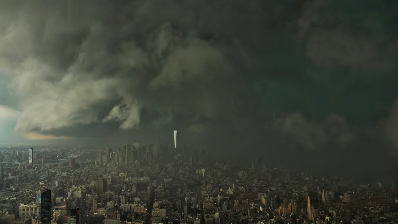
More than 38 million people from New York City to Washington, D.C., are bracing for severe weather on Thursday, including flash flooding, damaging winds, large hail and possible tornadoes.
The threat covers a wide swath of the Northeast, stretching from Syracuse, New York, and Vermont down to Virginia.

Severe weather outlook.
ABC News
For the Interstate 95 corridor from New York City to D.C., heavy thunderstorms could bring rainfall rates topping 2 inches per hour. Rain totals could reach 5 inches in some areas.
The storms are forecast to begin around 1 p.m. Thursday. The showers and thunderstorms will continue in a scattered fashion through the afternoon and evening.

Flash flood threat.
ABC News
The worst of the storms will likely strike New York City between 1 p.m. and 5 p.m. and reach Philadelphia and D.C. between 5 p.m. and 8 p.m.
A flood watch will be in effect for New York City, New York’s Hudson Valley, much of New Jersey, as well as Philadelphia from noon through the evening.

A thunderstorm crosses the Hudson River from Jersey City, New Jersey, into Lower Manhattan, August 7, 2026, in New York City.
Gary Hershorn/ABC News